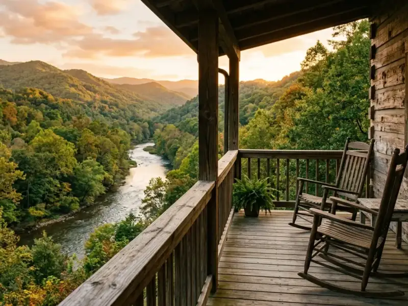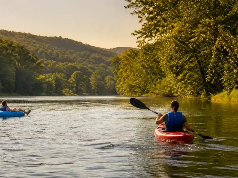
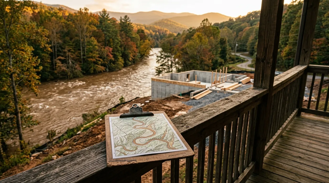
Before purchasing property near the Chestatee River, buyers must check FEMA flood insurance rate maps for Lumpkin County to identify whether a parcel sits in Zone A, AE, or X. High-risk zones require mandatory flood insurance for federally backed mortgages, making elevation certificates and property history critical checks before submitting an offer.
Understanding flood zone classifications before purchasing land or homes near the Chestatee River directly impacts insurance costs, financing options, and long-term property value.
Understanding FEMA Flood Maps for Lumpkin County
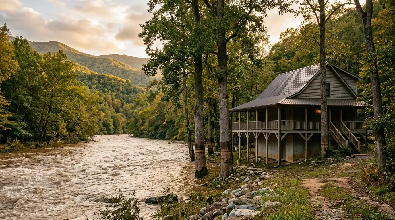
The Chestatee River, like all mountain rivers, floods. Heavy rainfall in the Blue Ridge headwaters can raise river levels quickly and dramatically, and portions of the land adjacent to the river sit within FEMA-designated flood hazard areas. Checking river conditions before visiting or buying is essential—buyers can learn more in How to Read Chestatee River Conditions Before You Go .
FEMA’s Flood Map Service Center maintains digital flood insurance rate maps (FIRMs) for Lumpkin County that identify areas within the 100-year floodplain (Special Flood Hazard Area, or SFHA) and the 500-year floodplain. You can look up any parcel using the property address or latitude and longitude.
If a structure sits in Zone A or AE and carries a federally backed mortgage (conventional, FHA, VA, USDA), the lender is legally required to mandate flood insurance as a condition of loan approval.
FEMA Flood Zone Classifications Compared
FEMA maps categorize parcels into specific risk designations based on historical flood patterns and elevation data. When exploring Chestatee River real estate , reviewing parcel maps carefully ensures you know exactly which zone applies.
| Zone | Risk Classification | Mortgage Insurance Requirement |
|---|---|---|
| Zone A | High risk (No detailed base flood elevation data) | Mandatory for federally backed loans |
| Zone AE | High risk (Detailed base flood elevation data available) | Mandatory for federally backed loans |
| Zone X | Minimal or moderate risk | Optional but prudent precaution |
Flood risk along the Chestatee depends on parcel elevation relative to base flood levels, not just river proximity. True low-lying riverfront lots carry higher risk, while elevated bank terrace areas often sit in Zone X.
Which Properties Near the Chestatee Are Affected?
Not all properties near the river are in flood zones. The floodplain is widest in lower-gradient stretches where the river slows and broadens, particularly in valley bottoms. Properties on elevated banks, hillside lots, and terrace areas above historical high-water marks are often in Zone X even if close to the water.
True riverfront lots at or near the water’s edge are the most likely to carry Zone A or AE designations, particularly those on flat, low-lying stretches of the Chestatee’s lower elevation sections. Properties within planned developments—such as those described in the Achasta Golf Community: A Buyer’s Guide to the Chestatee River’s Most Exclusive Neighborhood —may have had site work and grading that affects their flood status.
Whether you are evaluating Riverfront vs. Golf Community: Two Ways to Live on the Chestatee River or looking for recreational parcels near top spots like those in the Chestatee River fly fishing guide , always check the specific parcel status.
Flood Insurance Costs and Elevation Certificates
Flood insurance for properties in the SFHA is available through the National Flood Insurance Program (NFIP) administered by FEMA, or through private flood insurance carriers. NFIP insurance costs vary based on structure value, elevation relative to base flood elevation, deductible choices, and coverage limits. Buyers should confirm current rate figures directly with a licensed insurance provider or local real estate agent.
For a structure in Zone AE, an elevation certificate (EC) prepared by a licensed surveyor showing the finished floor sits above base flood elevation can significantly lower NFIP premium costs.
For more detailed insights on property buying along the corridor, review Living on the Chestatee River: What Buyers Need to Know .
What to Ask Before Making an Offer
Before submitting an offer on any property near the Chestatee River, get answers to these essential questions:
- What FEMA flood zone is the property in?
- Has the property ever flooded, and if so, how many times and to what depth?
- Are there any LOMA (Letter of Map Amendment) or LOMR-F (Letter of Map Revision based on Fill) documents on file?
- What is the current flood insurance premium, and is it transferable?
- Has the property been raised, filled, or otherwise modified to affect its flood zone status?
Frequently Asked Questions
Is flood insurance required for all homes near the Chestatee River?
No. Flood insurance is only federally mandated for structures in Zone A or AE (Special Flood Hazard Area) with a federally backed mortgage. Properties in Zone X do not require it, though buyers may choose to carry it voluntarily.
Can I get a mortgage on a home in a FEMA flood zone?
Yes. Homes in flood zones can be financed with conventional, FHA, VA, and USDA loans, provided the required flood insurance is in place at closing. The insurance cost factors into your debt-to-income calculations.
How much does flood insurance cost near the Chestatee River?
Costs vary considerably based on flood zone, structure elevation, coverage amounts, and the insurer. Request a quote from an NFIP-authorized agent and compare with private carriers. An elevation certificate showing above-BFE construction can significantly lower premiums.
What happens if FEMA remaps the area and my property moves into a flood zone?
If FEMA remaps and places your property in a higher-risk zone, you may be required to obtain flood insurance when your mortgage comes up for renewal. Owners in this situation can appeal through a LOMA if they believe the remapping is incorrect based on their property’s actual elevation.
Ready to find your dream home near the Chestatee River?
Contact the North Georgia real estate experts at Gold Peach Realty today.
Search North Georgia homes with Gold Peach Realtyor call (770) 283-1223
North Georgia Real Estate
Looking for Homes on the Chestatee River?
Gold Peach Realty are the local experts in Dahlonega and Lumpkin County real estate. Search riverfront properties, mountain cabins, and North Georgia homes.