To read Chestatee River conditions before heading out, check the USGS gauge near Dahlonega for water discharge in cubic feet per second and gauge height. Flow rates between 80 and 300 cfs provide ideal fishing and paddling conditions, while water temperatures between 50°F and 65°F offer optimal trout feeding activity.
The difference between a great day on the Chestatee River and a wasted one often comes down to a quick check of water flow, temperature, clarity, and weather before leaving home.
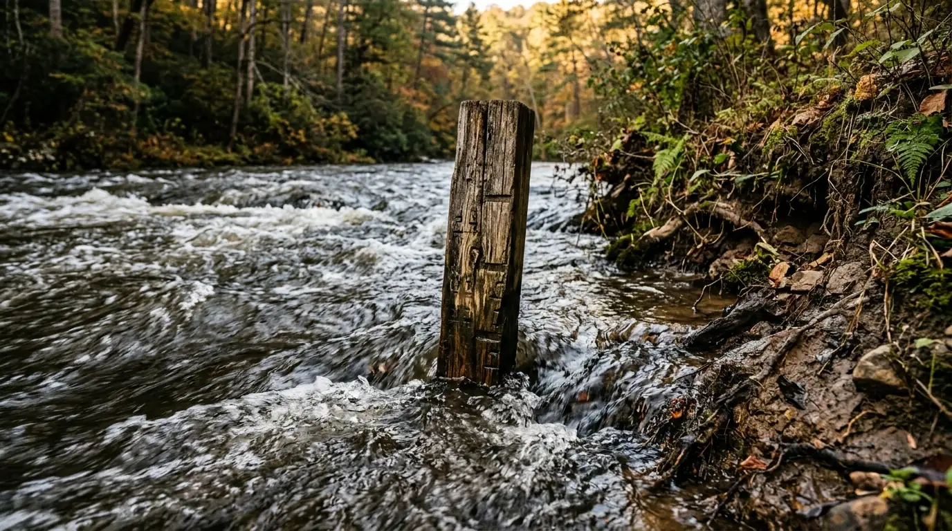
Understanding USGS Stream Gauge Data
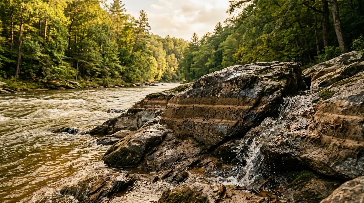
The U.S. Geological Survey maintains monitoring stations on rivers across the country. The Chestatee River gauge is located near Dahlonega (USGS site 02332000) and measures discharge in cubic feet per second (cfs) as well as gauge height in feet. Checking Chestatee River conditions allows you to compare current levels against historical averages before planning your outing.
The gauge page shows historical averages for any given date, letting you quickly evaluate whether current flow rates are above or below normal seasonal baseline levels.
Flow Rates for Fishing, Tubing, and Kayaking
Different activities on the river require distinct water flow levels. Knowing what the cfs numbers mean ensures safety and a better experience, whether you are exploring what to do on the Chestatee River or planning a float trip.
| Activity | Flow Rate (cfs) | Conditions Overview |
|---|---|---|
| Fly Fishing | 80–300 cfs | Optimal sweet spot; creates ideal runs and riffles without dangerous wading. |
| Tubing | 100–400 cfs | Ideal summer float range; below 100 cfs leads to dragging on rocks. |
| Kayaking | 80–300 cfs | Ideal for most paddlers; 300–600 cfs develops Class II conditions. |
The sweet spot for fly fishing is 80 to 300 cfs. The river has enough flow to distribute fish and create runs and riffles where trout hold, without being so high that wading becomes dangerous.
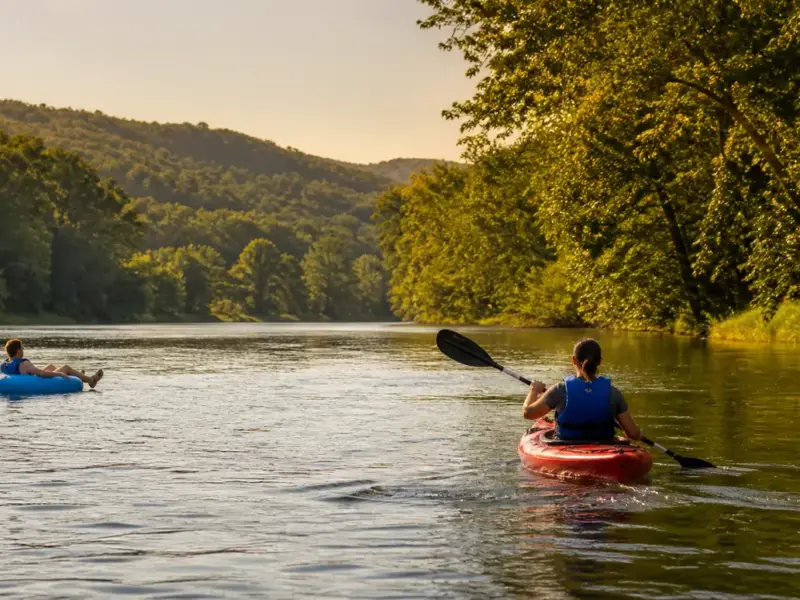
For additional angling insights, consult our comprehensive fly fishing guide . If you are planning a summer float, review our complete guide to tubing the Chestatee River before renting equipment.
When flow rates exceed 900 cfs for fishing or 700 cfs for casual tubing, stay off the river. High flows make wading dangerous and create hazardous floating conditions.
Water Temperature and Weather Impact
Water temperature is the most critical variable for trout fishing because trout metabolism and feeding activity track directly with water temperature. The upper Chestatee typically stays below 65°F year-round in wild trout sections due to cold springs in the watershed.
Rain events affect the Chestatee in distinct stages:
- During rain: The steep mountain watershed gradient can raise the river 1–2 feet within a few hours.
- 0–12 hours post-rain: The river is typically blown out, discolored, and high, though streamer fishing can be effective.
- 1–3 days post-rain: The river clears and fish activity spikes as newly flushed food sources move through oxygenated water.
Living on the Chestatee River
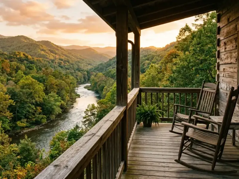
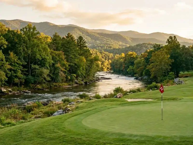
The best way to never miss ideal river conditions is living on the Chestatee River . When flows drop into the optimal 100–200 cfs range on an autumn afternoon, having direct access means stepping into the water within minutes. You can also evaluate riverfront vs. golf community options to find the ideal property style for your lifestyle.
Frequently Asked Questions
Where is the USGS Chestatee River gauge located?
The U.S. Geological Survey gauge is located near Dahlonega (USGS site 02332000) and measures discharge in cubic feet per second and gauge height in feet.
What water temperature range is optimal for trout feeding?
Optimal feeding activity occurs between 50°F and 65°F. Water temperatures above 72°F create severe stress for trout, and catch-and-release fishing should be avoided.
How long does the Chestatee River take to clear after heavy rain?
The river typically clears 1–3 days after rain, creating some of the best fishing conditions as flushed food sources and oxygenated water activate fish.
Find Your Chestatee River Property
Explore exclusive riverfront listings and homes near Dahlonega with Gold Peach Realty.
Search North Georgia homes with Gold Peach Realtyor call (770) 283-1223
North Georgia Real Estate
Looking for Homes on the Chestatee River?
Gold Peach Realty are the local experts in Dahlonega and Lumpkin County real estate. Search riverfront properties, mountain cabins, and North Georgia homes.