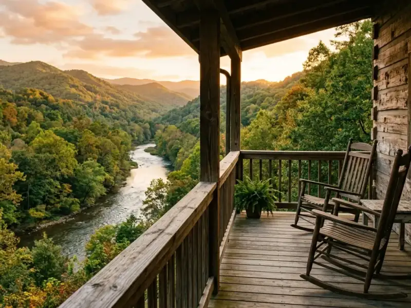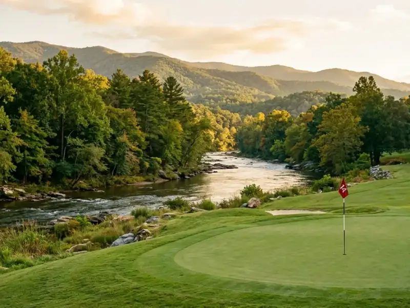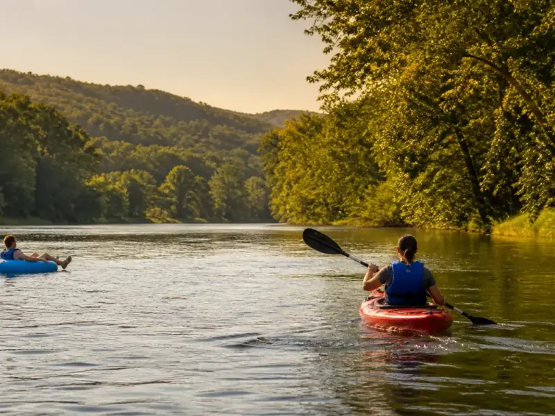
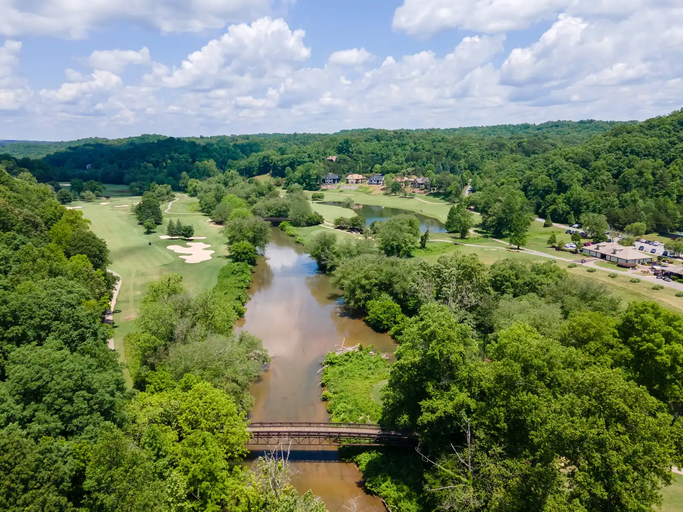
The best things to do on the Chestatee River depend on the day and the stretch you plan to visit. Fishing, paddling, riverside walking, local history, and gold-panning research are top options. Check current water conditions, access rules, weather, and Georgia regulations before leaving home, then choose an activity that fits your group.
The Chestatee River offers a practical North Georgia day outside, from fishing and paddling to river history and careful gold-panning research near Dahlonega.
Checking River Conditions and Access
The Chestatee River changes with rainfall, season, debris, temperature, and the particular section of water. That is part of its appeal, but it also means a plan should begin with a current check instead of an old photo or a memory from last summer. Look at the relevant USGS gauge, review weather and any public notices, and ask an outfitter about present conditions before paddling or wading. Reviewing a Chestatee River conditions guide helps ensure a safe trip.
Access deserves the same attention. A riverbank that is visible from a road is not automatically a public launch or fishing spot. Confirm the rules for the exact location, respect private property, and leave room in the plan for parking and a safe exit. For a broader menu of ideas, the Chestatee River activities guide can help you match an outing to the season.
Visible river frontage is not automatically public land. Always verify exact access points, respect private property boundaries, and check current weather before launching or wading.
Fishing and Paddling Activities
Fishing is often the first activity people associate with a North Georgia river, and the Chestatee can make a good reason to slow down for a few hours. The useful question is not whether a spot looks fishable from a map, but whether water, access, license requirements, seasons, limits, and equipment make sense for that day. Georgia DNR is the source for current fishing rules. Reviewing top fly fishing spots on the Chestatee River and consulting the Chestatee River fly fishing guide offer focused starting points for anglers.
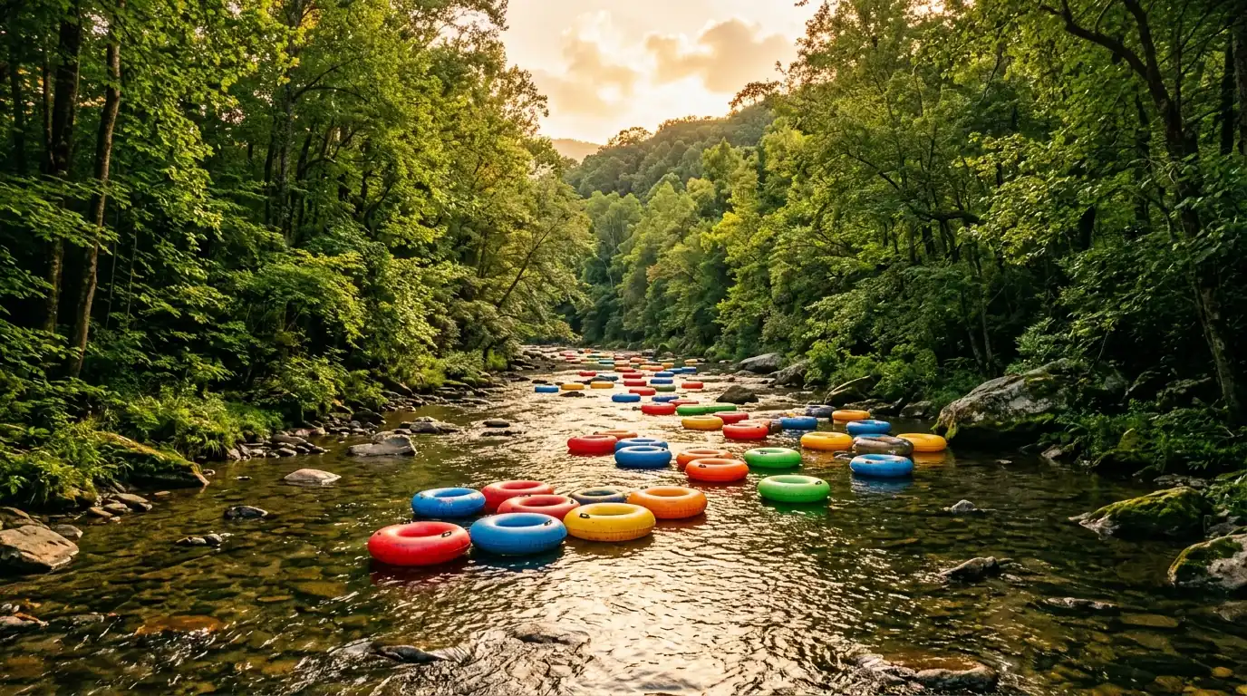
Kayaking, canoeing, and tubing the Chestatee River can turn a hot day into a memorable one, but the river should set the terms. Water level, strainers, private-property boundaries, put-in and take-out logistics, and skill levels matter more than a vague description of the trip. Choose a route that a current public source describes as appropriate and use proper safety gear.
Always pick one primary activity, one alternate activity, and a clear exit point. If recent rain alters water levels, pivot to a riverside walk or lunch in Dahlonega rather than forcing a river launch.
History, Gold Panning, and Seasonal Preparation
Not every visit needs a boat or a rod. A short riverside walk, a picnic at a permitted location, or a stop to notice the changing forest can be the whole plan. That slower pace also makes room for learning about local history. Reviewing the history of the Chestatee River and exploring Dahlonega gold rush history adds valuable context before looking for a permitted place to learn about mining. For buyers researching living on the Chestatee River , these seasonal shifts highlight the authentic daily experience in North Georgia.
Gold panning has an understandable pull around Dahlonega, but it is not a free pass to enter any creek bed. Confirm that the location permits the activity, learn land-management rules, and avoid crossing private land without permission.
Pack closed-toe footwear, drinking water, a charged phone, weather-appropriate layers, and trash bags for every outing to keep the riverbank clean.
- Step Check USGS water gauges and local weather forecasts before departing.
- Step Verify public access rights and Georgia DNR regulations for your chosen stretch.
- Step Pack essential safety equipment, water, closed-toe shoes, and trash bags.
- Step Establish a primary activity, an alternate backup plan, and a safe exit point.
Frequently Asked Questions
What are the best things to do on the Chestatee River?
Fishing, paddling where conditions and access allow, a careful riverside visit, local-history research, and permitted gold-panning research are common options. Start with current conditions and the rules for the exact location.
Can I kayak or tube on the Chestatee River?
That depends on current water conditions, permitted access, route hazards, and the experience of the group. Check current guidance before choosing a route.
Where can I access the Chestatee River?
Verify the exact access point before visiting. Visible river frontage is not automatically public, and rules can differ by location.
Is fishing allowed on the Chestatee River?
Check Georgia DNR for current license requirements, seasons, limits, and water-specific rules before fishing.
Can I pan for gold in the Chestatee River?
Only after confirming that the exact location permits it. Do not cross private property without permission and do not expect a particular result.
What should I check before a river day?
Check weather, water conditions, access notices, regulations, equipment, and a safe plan for getting off the river.
Is the Chestatee River suitable for a family outing?
Choose a currently appropriate public access point or guided activity based on conditions and the skills of the group.
What is the best season to visit the Chestatee River?
Match the season to the activity, then confirm current conditions before leaving. A different plan may be safer after weather changes.
Do I need to watch river conditions before fishing or paddling?
Yes. Conditions can change with rainfall, temperature, debris, and water level, so check current information close to the trip.
What does the Chestatee River have to do with Dahlonega history?
The river is part of the wider Dahlonega-area landscape and its gold-rush history. Use permitted locations and reliable local sources when exploring that history. A good starting point is this Dahlonega gold rush history.
Thinking about a home near the river?
Find your next Chestatee River and Dahlonega, Georgia home with Gold Peach Realty.
Search North Georgia homes with Gold Peach Realtyor call (770) 283-1223
North Georgia Real Estate
Looking for Homes on the Chestatee River?
Gold Peach Realty are the local experts in Dahlonega and Lumpkin County real estate. Search riverfront properties, mountain cabins, and North Georgia homes.