
Quick answer (TL;DR)
The river in Dahlonega, GA is the Chestatee River, a clear mountain waterway that runs through Lumpkin, Dawson, and Hall counties before emptying into Lake Lanier near Gainesville. Tubers, kayakers, trout anglers, and gold panners share the same water depending on the season, and private cabins dot the corridor between public access points. Dahlonega’s gold-rush identity was built on this river. The town still marks it each October at the yearly Gold Rush Days.
The Chestatee River is the main river near Dahlonega, GA, threading through Lumpkin County and into Dawson and Hall counties on its way to Lake Lanier. Locals tube it in summer, fish it in spring, and pan for gold on its gravel bars year-round.
The River
Chestatee River
Dahlonega’s defining waterway, from the Blue Ridge foothills to Lake Lanier
Gold Country
1829 Gold Rush
The Chestatee basin was the heart of the first major gold rush in United States history
What to Do
Four seasons
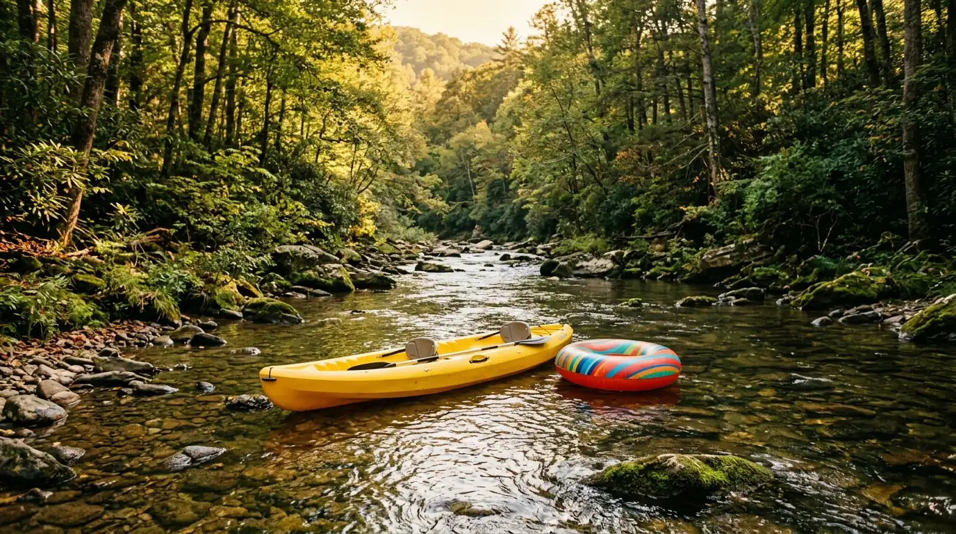
Tubing and kayaking in summer, trout fishing in spring, gold panning year-round, cabin life all winter
The Chestatee River: Dahlonega’s defining waterway
If you search “river in Dahlonega GA,” you’re looking for the Chestatee. It’s the waterway that runs closest to Dahlonega, passes through Lumpkin County, and shapes the outdoor character of the area more than anything else on the map. The river is the reason the town exists. Prospectors followed the gold in those mountain waters long before a courthouse was built.
For a fuller picture of the corridor from headwaters to lake, see our complete Chestatee River guide, which covers geography, access points, and seasonal conditions in detail.
Where the name comes from
Chestatee is a Cherokee name. Historians most often translate it as “torch” or “fire light,” a reference to the nighttime fishing the Cherokee practiced on the river, holding torches over the water to draw fish toward the surface. The exact translation has been debated, but the Cherokee origin is not. The Cherokee lived throughout this part of the southern Appalachians for centuries before European contact reached this far into the mountains.
Public access tip
Georgia DNR maintains the Chestatee Wildlife Management Area along parts of the river corridor. WMA land provides some of the most reliable public access near Dahlonega. Look for current area maps on the GADNR Wildlife Resources Division website before heading out.
From headwaters to Lake Lanier: how far does the Chestatee flow?
The Chestatee begins in the Blue Ridge mountains of northeastern Lumpkin County and flows roughly 60 to 70 miles southwest and south before entering Lake Lanier near Gainesville. The upper elevation keeps the water cold enough to hold trout through much of the year. The lower sections warm and shallow out enough for tubing without a wetsuit by June.
| Section | Character | Best for |
|---|---|---|
| Upper (near headwaters) | Steeper gradient, cooler water, more rock | Trout fishing, cold-water kayaking |
| Middle (near Dahlonega) | Moderate current, gravel bars, wooded banks | Tubing, kayaking, gold panning, swimming |
| Lower (toward Lake Lanier) | Slower, wider, warmer | Flatwater paddling, fishing, cabin life |
Water levels shift more than you might expect between wet springs and dry summers. The USGS maintains a stream gauge on the river near Dahlonega. Checking current readings before any river outing takes two minutes and saves a lot of guesswork.
What people do on the Chestatee River near Dahlonega
What is the Chestatee River good for near Dahlonega?
Tubing and kayaking in warm weather, trout fishing in spring and fall, gold panning year-round on public gravel bars, and cabin living for those who want the river close. See the full breakdown of things to do on the Chestatee River for seasonal specifics and outfitter options.
Tubing and kayaking
The middle sections are what most visitors mean when they say they want to tube the river near Dahlonega. Gravel bars and tree canopy make it genuinely pleasant from June through August when the water is up. Low summer conditions can leave stretches too shallow to float without dragging. Local outfitters can tell you what the river is doing right now, which beats guessing from a parking lot.
Trout fishing
The upper Chestatee holds trout, primarily rainbow and brown in the cooler, faster sections. Georgia DNR designates portions of the river under trout management regulations, including size and creel limits that change by season and stretch. Check the current Georgia DNR Fishing Guide before keeping any catch. Regulations on delayed-harvest and trophy sections are enforced, and they change from year to year.
The Chestatee isn’t decoration. It’s the reason Dahlonega happened.
Gold panning
The Chestatee’s gravel bars are the original gold-mining ground of the Georgia Gold Rush. Recreational gold panning is still possible on public stretches of the river, and trace amounts of placer gold do turn up. Trace is the operative word. Never plan a trip around guaranteed finds. The experience of working the same gravel that once supplied a gold rush is enough on its own. Our guide to gold panning on the Chestatee River in Dahlonega covers which areas allow recreational panning and how to go about it legally.
The Chestatee River and Dahlonega’s gold rush history
The 1828 Georgia Gold Rush is considered the first major gold rush in United States history, more than two decades before California. The Chestatee River was at the center of it. Placer gold found in the river’s gravel bars and surrounding creek drainages drew prospectors from across the eastern seaboard, and Dahlonega grew as a supply and assay town for the mining camps spreading through the hills.
The federal government established the Dahlonega Mint in 1838 to coin the gold being pulled from the surrounding hills and river bottoms. It operated until the Civil War. What happened here, the mining boom, the displacement of the Cherokee, the eventual bust when a richer strike in California pulled the prospectors west, is one of the more consequential episodes in the early history of the American South.
Historical context
The same gold rush that made Dahlonega a town accelerated the forced removal of the Cherokee Nation from their ancestral lands in this region. The Chestatee River and the surrounding mountains were Cherokee territory for generations. That history is part of what makes the river what it is.
Getting on the water: access points near Dahlonega
Public river access on the Chestatee near Dahlonega takes planning. Much of the riverbank is private property, and posting and fencing are common. State-designated WMA sections and fishing access areas carry public access rights. Finding those before you drive out saves time and keeps you on the right side of a fence. The Chestatee River access points guide maps the public put-ins and pull-outs closest to Dahlonega.
How do I find public access to the Chestatee near Dahlonega?
Start with Georgia DNR fishing access areas and Chestatee Wildlife Management Area parcels, which carry legal river access. The GADNR website and the state water trail listing document put-in spots. Checking the map before driving out avoids time spent at gates and posted boundaries.
A few things worth doing before any trip:
- Check current water levels on the USGS National Water Information System before deciding which section to float or fish.
- Confirm the access point is publicly accessible. WMA land is generally open; roadside bridge pulloffs may or may not have legal put-in rights.
- Pack in, pack out. The Chestatee corridor is lightly managed and litter builds up fast on the access points that get heavy use.
- Tell someone where you’re going, especially on longer float stretches where cell coverage runs out before the take-out does.
Private property warning
A significant portion of the Chestatee riverbank near Dahlonega is privately owned. Entering from a public road does not automatically grant river access rights. Stick to documented public access points, WMA land, and outfitter-operated launch sites.
Frequently Asked Questions
What is the river in Dahlonega, GA?
The river in and near Dahlonega, GA is the Chestatee River. It is the primary waterway running through Lumpkin County, continuing through Dawson and Hall counties before entering Lake Lanier near Gainesville.
How long is the Chestatee River?
The Chestatee River runs roughly 60 to 70 miles from its headwaters in the Blue Ridge mountains of northeastern Lumpkin County to its mouth at Lake Lanier near Gainesville, Georgia.
Can you swim in the Chestatee River near Dahlonega?
Swimming is common in the middle sections during warm months, especially on gravel bars with shallow, clear water. Water levels and clarity vary. Conditions that look calm can carry current, and the bottom is rocky in places. Check conditions locally before entering the water.
Can you tube or kayak the Chestatee River?
Yes. The middle sections near Dahlonega are popular for tubing and kayaking in summer. The experience depends on water level. Low summer conditions can mean dragging over gravel bars, while spring flows run faster and suit kayaking better. Local outfitters can advise on current conditions and accessible put-in points.
Is the Chestatee River good for fishing?
The upper Chestatee holds trout, primarily rainbow and brown trout in the cooler, faster sections. Georgia DNR manages several stretches under trout regulations. Check the current DNR Fishing Guide for size limits, creel limits, and any delayed-harvest or trophy stream designations before keeping fish.
Can you pan for gold on the Chestatee River?
Recreational gold panning is possible on public stretches near Dahlonega. Trace amounts of placer gold do turn up, but finds are not guaranteed. Pan only on confirmed public access areas. Much of the riverbank is private. The area is the same gold-producing ground that sparked the 1828 Georgia Gold Rush.
What county is the Chestatee River in near Dahlonega?
The section closest to Dahlonega runs through Lumpkin County. The river continues through Dawson and Hall counties on its way to Lake Lanier.
Does the Chestatee River flood?
Like most mountain rivers in North Georgia, the Chestatee can rise quickly after heavy rain. Properties in the floodplain carry flood risk. Any real estate purchase near the river should include a current flood-zone determination and review of FEMA flood map data. Water levels during heavy storm events differ dramatically from normal seasonal conditions.
What is the Chestatee River named after?
The name Chestatee is Cherokee in origin. It is most commonly translated as “torch” or “fire light,” referencing the torchlight fishing techniques the Cherokee used on the river at night. The exact etymology has been debated, but the Cherokee origin is not in question.
Are there cabins or homes for sale on the Chestatee River?
River-front and river-view properties exist along the Chestatee corridor, though they are limited in supply and tend to move when they appear. Prices vary widely depending on frontage, acreage, and proximity to Dahlonega. Contact a local agent familiar with the Chestatee area for current listings and off-market options.
Is the Chestatee River the same as the Chattahoochee?
No. The Chestatee is a separate river. It flows into Lake Lanier alongside the Chattahoochee but is a distinct drainage. The two rivers converge at the upper end of Lake Lanier near Gainesville. The Chattahoochee continues south from the lake and eventually forms the Georgia-Alabama state line.
What is the best time of year to visit the Chestatee River?
Spring brings higher water good for kayaking and trout fishing. Summer is peak tubing and swimming season on the gentler sections. Fall offers lower crowds and foliage along the banks. Winter water levels can be unpredictable; fishing access is possible but dress for cold mountain conditions.
Thinking about a home or cabin near the Chestatee River?
Gold Peach Realty knows the Dahlonega area and the Chestatee corridor. Get a current picture of what’s available from a team that works this market every day.
Get a free home valuation from Gold Peach RealtyCall us at (770) 283-1223
North Georgia Real Estate
Looking for Homes on the Chestatee River?
Gold Peach Realty are the local experts in Dahlonega and Lumpkin County real estate. Search riverfront properties, mountain cabins, and North Georgia homes.