The Chestatee River rises in the North Georgia mountains, runs past Dahlonega through the heart of the state’s original gold country, and empties into Lake Lanier. For visitors it is a tubing, paddling, fishing, and gold-panning river with several public access points. Conditions change quickly after rain, so check the USGS gauge and a local outfitter before you go rather than trusting a forecast alone.
The Chestatee River flows from the North Georgia mountains past Dahlonega and into Lake Lanier. It runs through Georgia’s original gold country and is used for tubing, paddling, fishing, and gold panning. Check the USGS gauge before any trip.
Where the Chestatee River runs
The Chestatee begins in the mountains of Lumpkin and White counties in North Georgia and works its way south past Dahlonega before joining the Chattahoochee arm of Lake Lanier. That ending matters to how the river behaves. The lower stretches flatten and widen as they approach the lake, while the upper river stays narrower, faster, and rockier.
People searching for the river by name usually want one of three things: where to get on it, what they can do once they are on it, or what the area around it is like. This guide covers all three in order. If you want the deeper background, our full guide to the Chestatee goes further on the river’s course and character.
Why the river and Dahlonega are inseparable
Dahlonega was the site of one of the first major gold rushes in the United States, and the Chestatee is one of the waterways that made it happen. Placer gold moved down these drainages, prospectors followed it, and the town grew from what they found. The river is the reason the town exists in the form it does. The story of Dahlonega’s gold rush tells the rest.
That history is still visible and still active. People pan the Chestatee today, and the practice is part of the region’s identity rather than a museum exhibit. Anyone can try it, though where you may legally pan depends entirely on land ownership and current rules. We cover the specifics in our piece on panning the Chestatee for gold.
Gold is genuinely present in this drainage. That is a historical and geological fact, not a promise about your afternoon. Nobody can tell you that you will find any, and you should treat panning as a way to spend a good day outdoors rather than as a return on your time.
How the river changes through the year
The Chestatee is a seasonal river in practical terms, and planning around the wrong season is the most common mistake visitors make.
- Spring. Higher, colder, and faster after mountain rain. Good for experienced paddlers, poor for casual tubing, and the period when conditions change most abruptly.
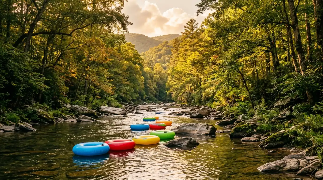
- Summer. The main tubing and swimming season, when outfitters run and flows are typically lower and warmer. Also the busiest stretch at popular access points.
- Autumn. Quieter water and the best colour along the banks. A strong season for fishing and for paddling without crowds.
- Winter. Cold and largely empty. Fishing continues for those equipped for it; casual river recreation effectively stops.
River level is the variable that decides whether a trip is pleasant or dangerous, and it responds to rain that fell upstream hours earlier under a clear sky where you are standing. Check the USGS streamgauge data for the Chestatee before you leave, and call an outfitter if you are unsure how to read it. We do not publish current levels or safety assurances here because they would be out of date before you read them.
Getting on the water
Public access is the practical constraint on the Chestatee. Much of the riverbank is private property, and the usable put-ins and take-outs are a limited set of specific locations rather than anywhere the road runs near the water.
Before a first trip, work out your put-in and your take-out together and know roughly how long the stretch between them takes at current flows. A float that looks short on a map can run considerably longer at low water. Our rundown of where the public access points are lays out the options.
For anyone without their own gear, local outfitters run shuttles and rentals through the warm season and are the simplest way to do a first trip. They also know what the river is doing that morning, which is information no article can give you.
Fishing the Chestatee
The Chestatee is fished for trout in its cooler upper reaches and for warmwater species as it flattens toward Lake Lanier. Which species you are targeting largely determines which section of river you want.
Licensing, seasons, size and creel limits, and any stream-specific designations are set by the Georgia Department of Natural Resources and are revised from time to time. Check the current Georgia DNR regulations for the water you intend to fish before you go. Regulations can differ between sections of the same river, so confirming for your specific stretch is worth the few minutes.
What else there is to do along the river
The Chestatee corridor supports more than water sport. The Chestatee Wildlife Management Area covers a substantial block of public land in the area, and the broader region around Dahlonega offers hiking, wineries, and the historic town square within a short drive of the water.
A common and sensible day combines a morning on the river with an afternoon in town. Our list of things to do along the river covers the options in more detail, including what works when the water is too high to float.
Living near the Chestatee
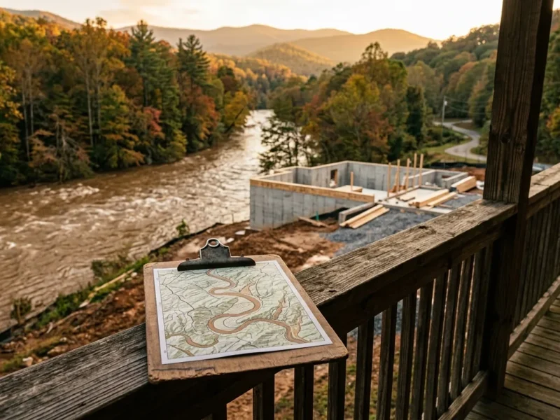
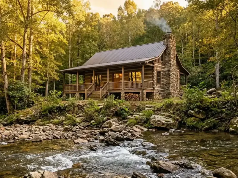
The river corridor between the mountains and Lake Lanier includes a mix of long-held family land, cabins, and newer homes. What people who live along it consistently describe is a rhythm set by the water: high and loud after mountain storms, low and quiet in late summer, and busy with visitors during the warm months near the access points.
That last point is the honest one worth making. Proximity to a popular access point and proximity to a quiet stretch of the same river are different experiences, and the difference is seasonal. Anyone considering the area is well served by visiting in more than one season before forming a view.
Frequently Asked Questions
Where is the Chestatee River in Georgia?
The Chestatee rises in the mountains of Lumpkin and White counties in North Georgia, flows south past Dahlonega, and joins the Chattahoochee arm of Lake Lanier.
Does the Chestatee River run through Dahlonega?
The river runs through the Dahlonega area in Lumpkin County rather than through the town square itself. It is closely tied to the town’s gold-rush history and is a short drive from the centre of Dahlonega.
Can you tube on the Chestatee River?
Yes, tubing is one of the river’s main summer activities, and local outfitters run rentals and shuttles through the warm season. Suitability depends on current flow, so check conditions before planning a float.
Is the Chestatee River safe for swimming?
Safety depends entirely on current river level, flow speed, and the specific location, none of which we can state for you here. Check USGS gauge data and consult a local outfitter, and treat the river as unsafe after heavy upstream rain.
Can you find gold in the Chestatee River?
Gold is present in this drainage, which is why the Dahlonega gold rush happened here. Whether you personally find any on a given day is not something anyone can promise, and where you may legally pan depends on land ownership and current rules.
Do you need a permit to pan for gold on the Chestatee?
Requirements depend on whether you are on private property, public land, or a commercial panning operation, and the rules differ across them. Confirm the current requirements for your specific location before you start.
What fish are in the Chestatee River?
The cooler upper reaches hold trout, while the warmer lower stretches toward Lake Lanier hold warmwater species. Check the current Georgia DNR regulations for licensing, seasons, and limits on the specific section you plan to fish.
When is the best time to visit the Chestatee River?
Summer is the main tubing and swimming season. Autumn offers quieter water and the best colour along the banks. Spring runs higher and colder, and winter is largely limited to fishing.
Where can the public access the Chestatee River?
Much of the riverbank is private property, so access is limited to a specific set of public put-ins and take-outs rather than anywhere the road approaches the water. Plan your put-in and take-out together before a trip.
Does the Chestatee River flow into Lake Lanier?
Yes. The Chestatee joins the Chattahoochee arm of Lake Lanier, and the lower river widens and slows as it approaches the lake.
How long does a float on the Chestatee take?
It depends on the stretch you choose and the flow that day, and a section that looks short on a map can take considerably longer at low water. Ask an outfitter for a realistic time for your chosen stretch and current conditions.
Is the Chestatee River good for beginner kayakers?
Some stretches suit beginners at moderate flows while others do not, and the same stretch can change character within a day after upstream rain. Beginners are best served going with an outfitter the first time.
Thinking about living near the Chestatee?
Gold Peach Realty is the local brokerage for Dahlonega, Lumpkin County, and the surrounding North Georgia mountain communities.
Connect with Gold Peach Realty, your local Dahlonega brokerageCall (770) 283-1223.
North Georgia Real Estate
Looking for Homes on the Chestatee River?
Gold Peach Realty are the local experts in Dahlonega and Lumpkin County real estate. Search riverfront properties, mountain cabins, and North Georgia homes.