Quick answer (TL;DR)
The Chestatee River covers roughly 60 to 70 miles of North Georgia mountain country, running through Lumpkin, Dawson, and Hall counties before entering Lake Lanier near Gainesville. The upper reaches hold trout, the middle sections work well for tubing and kayaking, and river-front cabin properties sit scattered along the corridor. Public access is better than you would expect from a mountain river this size, and Dahlonega is close enough for regular errands.
The Chestatee River moves through the center of North Georgia’s mountain country, passing close to Dahlonega before descending through Dawson and Hall counties to Lake Lanier. It draws anglers, paddlers, and buyers looking at river-front property in roughly equal measure, depending on the season.
What does the name Chestatee mean?
The name comes from the Cherokee language and is generally translated as “torch” or “fire place,” a reference to fishing techniques the Cherokee used on the river at night. The Cherokee lived throughout this watershed for centuries before the Georgia Gold Rush brought settlers to Lumpkin County starting in 1829.
A river with roots in Georgia’s gold country
The Chestatee originates in the Blue Ridge foothills north of Dahlonega and picks up several tributaries as it descends through Lumpkin, Dawson, and Hall counties. In the upper corridor, water runs cold and clear over bedrock and gravel bars. By the lower stretches, the gradient flattens, the river widens, and the character changes.
When gold was found in Lumpkin County in 1828, in what became the first major gold rush in United States history, prospectors moved through the Chestatee corridor panning the gravel bars for placer deposits. Hard-rock mining followed in the surrounding hills, and Dahlonega grew up above those early workings. The town still applies genuine gold leaf to the state capitol dome each time it needs refinishing, a detail that tends to surprise people who thought the Georgia gold rush was a footnote. The full gold rush history picks up the story in town.
Below the historical layer, the river does what rivers do. It moves water from the mountains to the reservoir, and it does so through some of the more accessible mountain country in North Georgia.
Fishing on the Chestatee River
The upper Chestatee is one of North Georgia’s more productive trout fisheries. The Georgia DNR stocks portions on a regular schedule, supplementing a wild population that holds on in the colder upstream sections. Catch rates are best when water temperatures sit in the 50s to low 60s Fahrenheit, which means late winter through spring and again when fall cools things back down. Summer pushes trout into deeper, shaded pools, and effort there tends to yield less.
Below the upper corridor, the Chestatee shifts to a warmwater fishery. Bass, bream, and catfish become common as the river widens approaching Lake Lanier. The change happens over miles rather than all at once, so the section you pick determines what you are likely to catch.
A Georgia fishing license is required for anglers 16 and older. Stocking schedules, regulations, and any seasonal restrictions are available through the GADNR website. For section-specific access notes and current conditions, the Chestatee River fishing guide covers what tends to change and what to verify before you make the drive.
Upper river species
Rainbow and brown trout
Wild and stocked; best from late winter through spring and again when fall cools water back into the 50s.
Lower river species
Bass, bream, catfish
Warmwater species take over as the gradient flattens toward Hall County and Lake Lanier.
License required
Georgia fishing license
Required for anglers 16 and older. Available through GADNR or any licensed retailer in the area.
Kayaking and canoeing the Chestatee
Different sections of the Chestatee suit different experience levels. Upper stretches near Dahlonega move faster and call for someone comfortable reading water. Lower sections are calmer and work for beginners. That range is part of what makes the river worth knowing: you are not locked into one type of experience for its entire length.
Check USGS real-time water data for the Dahlonega gauge before committing to a put-in. Mountain rivers respond quickly to rain upstream, and a stretch that looked comfortable on a calm morning can read differently a few hours after a storm. The Chestatee River access points map shows put-in and take-out locations along the corridor with current notes on parking and conditions.
Check the gauge before you go
The Chestatee responds quickly to upstream rain. Flow can spike within hours of a storm further up the watershed, turning a manageable section into something that demands more experience than a casual float. Check the USGS real-time data for the gauge near Dahlonega before any float on the river.
Tubing and warm-weather recreation
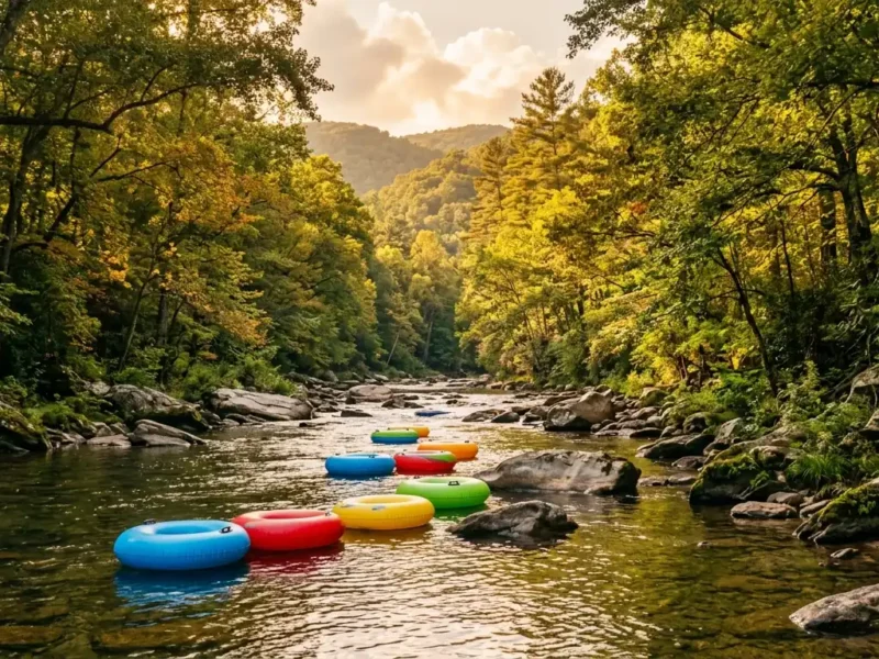
Accessible stretches with gentle current and gravel bars draw tubers and swimmers from June through early September. The experience depends on water level: a drought-dry river means dragging your tube over rocks, while post-storm flows can move faster than they look from the bank.
On a clear summer morning with good tree cover and water at a reasonable level, the upper-to-middle sections are genuinely good. The Chestatee River activities guide covers outfitters, timing by season, and current options for planning a trip.
Is the Chestatee River safe to swim in?
Generally yes in normal flow conditions. Avoid swimming after heavy rain, when turbidity is high and the current runs faster than it appears from the bank. Check the USGS gauge near Dahlonega before any water activity, and do not leave children unsupervised near any mountain river regardless of how calm it looks.
Getting to the river: access and public land
Public access on the Chestatee is better than most North Georgia mountain rivers. The Georgia DNR maintains fishing access areas along the corridor, and the Chestatee Wildlife Management Area provides public land with direct river access in the upper sections. Some sites require short drives on unpaved roads and may have seasonal closures.
The Chestatee runs through country where the mountains feel close and the water is never far. That combination is harder to find than people expect, this close to a drivable city.
- Confirm the access point is open. GADNR sites close seasonally, after flood damage, or for maintenance. A quick check of the GADNR website before you drive out saves the trip.
- Park in designated areas. Roadside parking along parts of the corridor can result in a tow. Use the established lots where they exist.
- Carry out what you bring in. Much of the river corridor passes through private land. Leaving trash behind makes it more likely that landowners restrict informal access over time.
- Check flow before putting in. The USGS Dahlonega gauge is the most reliable real-time reference. Low summer flow can leave kayaks sitting on gravel bars; post-rain flow can make certain sections more demanding than the bank suggests.
- Read current fishing regulations if you plan to fish. Sections of the river within the Chestatee WMA carry specific rules and seasonal restrictions that the GADNR Fishing Guide covers in detail.
The Chestatee through the seasons
The river is usable year-round, but what you do on it shifts considerably depending on the time of year. The table below covers the basics.
| Season | Water conditions | Best use | What to watch |
|---|---|---|---|
| Spring (Mar–May) | Cold, moderate to high flow | Trout fishing, kayaking, early tubing | Higher flows after snowmelt and spring rain; always check the gauge |
| Summer (Jun–Aug) | Warmer, lower flow | Tubing, swimming, warmwater fishing | Trout move to deeper pools; water level drops significantly in dry years |
| Fall (Sep–Nov) | Cooling, often the most comfortable | Fly fishing, scenic paddling, floats | Leaf debris in the water; flows vary week to week with rainfall |
| Winter (Dec–Feb) | Cold, variable | Fly fishing in upper sections, wildlife watching | Short days, icy banks; wade carefully on any exposed rock |
Living along the Chestatee corridor
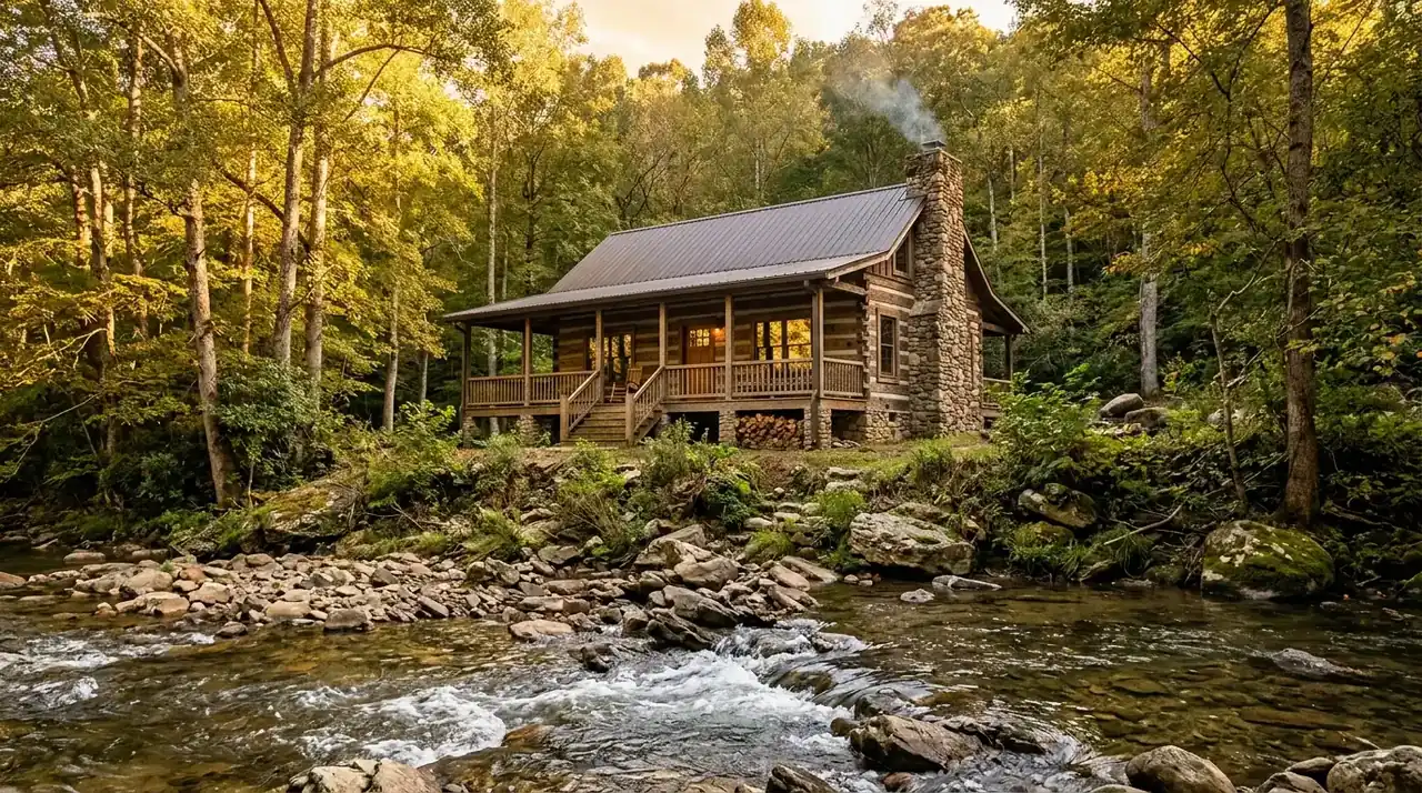
River-front property along the Chestatee has been in demand for a long time. The appeal is direct: you hear the water from the house, natural buffers put distance between you and the neighbors, and outdoor recreation is out the door rather than a drive away. Properties with genuine water frontage or river views are limited and tend to move when they appear.
Living near the Chestatee also means the norms of rural North Georgia: well water and septic are common along the corridor, propane takes the place of natural gas in many stretches, and internet quality varies considerably by section. Access roads in some areas are narrow. None of that surprises buyers who have thought through what rural mountain property actually involves; it does catch some people off-guard.
Flood plain: verify before you make an offer
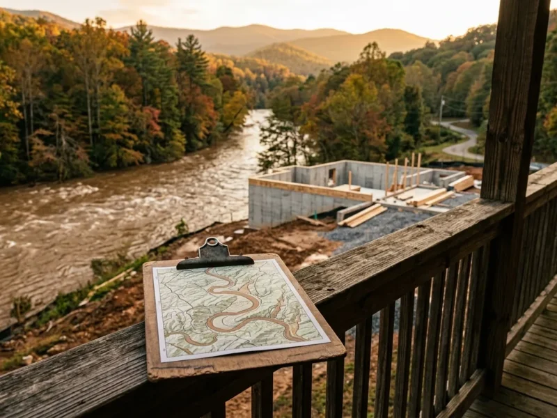
River-front properties carry flood-plain requirements that inland properties do not. Before making an offer on any Chestatee corridor home, pull the FEMA flood map for that specific parcel, ask for the property’s flood insurance history, and review any NFIP requirements with your agent. Some lots sit above the 100-year flood plain; others do not. The difference matters for insurance costs, future financing, and what you can modify on the lot.
Drive to Dahlonega
15 to 30 minutes
Most upper Chestatee corridor properties reach Dahlonega’s town square within 15 to 30 minutes, depending on the section of river and the road.
Rural infrastructure
Well, septic, propane
Common norms in the corridor. Cell coverage and internet quality vary considerably by location along the river.
Flood-plain status
Verify per parcel
Pull the FEMA map for the specific parcel before making any offer. Insurance and financing implications vary considerably.
For a closer look at what life in the corridor is actually like day to day, the guide to living near the Chestatee River covers seasonal realities, property types, and what buyers typically ask about before making an offer.
Frequently Asked Questions
Where does the Chestatee River start and end?
The Chestatee originates in the Blue Ridge mountains north of Dahlonega and flows south and southeast through Lumpkin, Dawson, and Hall counties before emptying into the Chattahoochee at Lake Lanier near Gainesville. The full corridor from headwaters to reservoir covers roughly 60 to 70 miles.
What fish can you catch in the Chestatee River?
The upper Chestatee holds rainbow and brown trout, wild and stocked by the Georgia DNR. It is one of the better trout fisheries in North Georgia. The lower sections hold bass, bream, and catfish as the river widens and warms toward Lake Lanier. Check the current GADNR Fishing Guide for stocking schedules and regulations before heading out.
Are there public access points on the Chestatee River?
Yes. The Georgia DNR maintains several fishing access areas along the corridor, and the Chestatee Wildlife Management Area provides public land with direct river access in the upper sections. Availability can change seasonally; check the GADNR website before making the trip.
Is the Chestatee River good for kayaking?
It depends on the section and current water level. Upper stretches near Dahlonega move faster and require paddling experience; lower sections are calmer and work for beginners. Always check USGS real-time water data before putting in. The river responds quickly to upstream rain.
Is the Chestatee River safe to swim in?
Generally yes in normal flow conditions. Avoid swimming after heavy rain, when turbidity rises and current runs faster than it appears from the bank. Check the USGS gauge near Dahlonega before any water activity, and do not leave children unsupervised near any mountain river regardless of how calm it looks.
How long is the Chestatee River?
Roughly 60 to 70 miles from its headwaters in the Blue Ridge to Lake Lanier near Gainesville. The river’s character changes substantially from the fast, cold upper corridor near Dahlonega to the wider, slower lower section in Hall County.
What does the name Chestatee mean?
The name comes from the Cherokee language and is generally translated as “torch” or “fire place,” a reference to nighttime fishing techniques the Cherokee used on the river. The Cherokee lived throughout this region for centuries before European settlement and the Georgia Gold Rush.
Is the Chestatee River good for tubing?
Certain sections work well for tubing in warm weather, particularly those with gentle current, shade, and accessible entry and exit points. The experience varies with water level. Low conditions in dry summers mean dragging over gravel; post-storm flows can move faster than is comfortable. Ask locally for current conditions before heading out.
What county is the Chestatee River in?
The Chestatee flows through Lumpkin, Dawson, and Hall counties in North Georgia. It begins near Dahlonega in Lumpkin County and continues through Dawson and Hall counties on its way to Lake Lanier near Gainesville.
What is the history of gold mining on the Chestatee River?
The Chestatee was central to the Georgia Gold Rush, which began in Lumpkin County in 1828 and was the first major gold rush in United States history. Prospectors worked the river’s gravel bars and tributaries for placer gold. Hard-rock mining followed in the surrounding hills, and Dahlonega grew around those operations. The gold history is still close to the surface there.
Are there homes for sale near the Chestatee River?
Yes, though river-front and river-view properties in the Chestatee corridor are limited in supply and tend to move when they appear on the market. Gold Peach Realty’s agents work this area regularly and can help identify current listings and any off-market options near the river.
Is there camping near the Chestatee River?
There are camping options in the surrounding area, including within the Chestatee Wildlife Management Area and Chattahoochee-Oconee National Forests land. Some private campgrounds and rental cabins operate near the corridor. Check current GADNR and U.S. Forest Service listings for permitted sites, since rules and availability change by season.
Searching for North Georgia river properties?
Gold Peach Realty’s agents know the Chestatee corridor and can help you find river-front and river-view homes that match what you’re looking for.
Work with a local North Georgia REALTOR® — Gold Peach RealtyCall us at (770) 283-1223
North Georgia Real Estate
Looking for Homes on the Chestatee River?
Gold Peach Realty are the local experts in Dahlonega and Lumpkin County real estate. Search riverfront properties, mountain cabins, and North Georgia homes.